 |
| Wetlands at Long Lane |
Continuing my exploration of the geology and historic buildings around Treeton during the COVID-19 lockdown, after taking a few photographs of the Mexborough Rock that forms the high ground beyond Ulley Brook, I had a quick look at Spa Farm.
 |
| A view of the Mexborough Rock beyond Ulley Brook |
A chalybeate spring here was once exploited for therapeutic purposes in the 1660’s and a couple of farm buildings are listed, but I only stopped long enough to note the mottled red/yellow colouration of some of the Rotherham Red sandstone before making my way down to Long Lane.
 |
| Various buildings at Spa Farm |
The escarpment of the Mexborough Rock and the line of the Spa Fault can be clearly seen from here and, continuing along Long Lane under the M1 motorway towards Whiston - passing by a lot of rubbish on the way - I went to investigate an area of permanent wetlands that I had seen many times when driving by.
 |
| A view to Spa Farm from Long Lane |
Looking at a geological map, the area between Treeton, Catcliffe and Whiston is marked by an extensive spread of alluvial sediments that have been deposited by the River Rother and its tributaries - Ulley Brook and Whiston Brook – and the whole area was turned into a great lake during the floods of 2007.

The natural landscape here has been changed so much by efforts to manage the flow of water, with various embankments and drainage ditches being clearly marked on Ordnance Survey maps that date back to the mid C19.

Arriving at a break in the hedgerow on Long Lane, I followed the footpath to the wetlands and quickly walked around its edge, from where I could see various species of water loving plants that would be of interest to botanists and ecologists.
 |
| The wetlands at Long Lane |
Returning to Long Lane, I had a look at the Rotherham Red sandstone bridge that crosses Whiston Brook, which has a surprisingly small arch through which the water flows, and then followed the brook for a short distance before heading along the path towards the River Rother.
 |
| Views of Whiston Brook |
Unknown to me at the time, the path runs past a moated scheduled ancient monument known as Blue Man’s Bower, which I had been aware of ever since living in Treeton but had never known its precise location. Stopping only to photograph the escarpment of the Mexborough Rock in the distance, which I had encountered earlier on my walk, I soon arrived at the river.
 |
| A ridge of Mexborough Rock in the distance |
Starting my walk back to Treeton, the path next to the River Rother runs under the M1 and continues intermittently along embankments and, with the riverbanks here being completely bare and only seeing a couple of swans, I hurried on towards Catcliffe.
 |
| Views of the River Rother |
Looking back towards Bole Hill Plantation, which covers the spur of Mexborough Rock that was once quarried for Rotherham Red sandstone, the soil on the lower slopes above the floodplain is characteristically red.
 |
| Bole Hill Plantation |
Beyond Catcliffe railway bridge, which now only takes freight traffic, the path carries on along past a landscaped tip of waste from Treeton Colliery and ends at the disused railway viaduct, where the renowned Staffordshire blue engineering bricks have been used in its construction.
 |
| Railway engineering along the River Rother |
Towards the end of my walk, I took a path that I had never used before, which runs on an embankment alongside the River Rother behind Catcliffe Flash, an area affected by coal mining subsidence that is now a nature reserve popular with birdwatchers.
 |
| A view across Catcliffe Flash |
Stopping to photograph a feature in the riverbank at the edge of the Waverley Estate, which at a distance I thought might be an outcrop of the Pennine Middle Coal Measures Formation, I walked along another embankment to Treeton Lane, from which I had a good view of the new building that has been erected on the former site of Mill House.
 |
| Miscellaneous views |
I finished my walk by carrying on up Mill Lane over the railway bridge to Station Road, which then winds up the escarpment of Treeton Rock to the junction with Front Street, where I turned right and continued along Wood Lane until I finally got home.
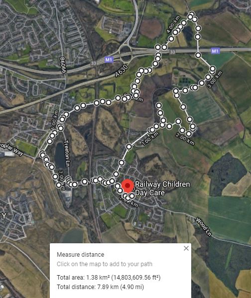 |
| An exploration of the Spa Fault and the River Rother |
No comments:
Post a Comment