 |
| Gigantoproductus brachiopod fossils in the Lower Shell Bed |
I once lived in Bakewell and got to know the geology of the Peak District National Park quite well when I was commissioned to survey its RIGS (Regionally Important Geological Sites) and to identify places where tourism could be diverted away from ‘honeypots’ like Castleton.
 |
| A geological map of the area around Eyam |
A month of intensive work only scratched the surface of its geology, but I nonetheless encountered a wide variety of sedimentary and igneous rocks and many spectacular landforms that I would recommend to prospective visitors to the Peak District.
 |
| Rose and Fossil Cottage |
When I joined the Sheffield U3A Geology Group, I was very impressed by the wide variety of field trips that they undertook and, currently being without a car, it provided an opportunity to visit places that were otherwise inaccessible to me.
 |
| The Lydgate Graves |
The October 2017 field trip to Eyam particularly interested me. Best known to tourists as the “plague village”, due to the part it played in containing an outbreak of the bubonic plague in 1665, there is also some interesting geology and geomorphology.
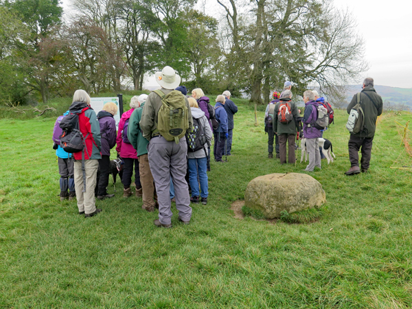 |
| Gathering around the information board at the Boundary Stone |
The village is set on the Bowland Shale Formation, the lowermost strata of the Upper Carboniferous, and we started off here by looking at two of the very many places associated with the plague – Rose and Fossil Cottage and the Lydgate Graves. Making use of the Heritage Trails produced for the area around Stoney Middleton, we then followed a distinct ridge formed by the Eyam Limestone Formation to see the Boundary Stone.
 |
| A view of Upper Carboniferous rocks from the Eyam Limestone ridge |
From here, the younger Upper Carboniferous sandstones and siltstones rocks can be seen to form an escarpment to the north and, to the south, the flat reef limestone on which we were standing passes down into the Monsal Dale Limestone, which is seen in Middleton Dale.
 |
| Lover's Leap in Middleton Dale |
To the south side of Middleton Dale, the Monsal Dale Limestones have been extensively quarried and evidence of lead mining, lime kilns and evidence of other industries that have exploited the geological resources can be found along the gorge.
 |
| The Stoney Middleton Heritage Trail |
The vertical cliff faces on the north side of Middleton Dale, especially at Castle Rock, show a cross section through the Eyam Limestones and the Monsal Dale Limestones, with variations in the facies, and differences between shallow and deeper water sediments can be clearly seen.
 |
| Castle Rock |
Variations in colour and texture can be seen on a large scale and certain geological horizons such as the Lower Shell Bed in the Upper Monsal Dale Beds, where Gigantoproductus brachiopods can be found in great numbers, are quite spectacular.
 |
| The Lower Shell Bed |
In places, the path along Middleton Dale is quite precipitous – and not followed by everyone - but there are good examples of fluorite mineralisation, colonies of corals and fine views across to the quarries on its south side.
 |
| A coral colony |
Leaving Shining Cliff to walk back up to Eyam, the B6521 follows the course of a heavily wooded dry valley, and just before re-entering the village there is an exposure of thick beds of chert in the Eyam Limestone Formation - the last stopping point at the end of a very interesting day.
 |
| An examination of Eyam Limestone containing beds of chert |
No comments:
Post a Comment