|
| Stepping Stones House |
Of the 12 points of interest that had been identified for the Sheffield U3A Geology Group field trip in Knaresborough in July 2023, by the time that we stopped for our lunch at St. Robert's Cave, 8 of these had been visited and the afternoon turned into a much more lesiurely walk that mainly followed the bank of the River Nidd.
 |
| The former Plompton corn mill |
Crossing over Grimbalds Bridge and following the footpath, we passed the former Plompton corn mill, which is built in a reddened gritstone, but we didn't stop to look at it and proceeded to the river bank, where there is an exposure of the Lower Plompton Grit, which is pebbly and apparently shows trough cross-bedding, but we didn't spend any time looking for this.
 |
| A riverside exposure of the Lower Plompton Grit |
From here, we had good views of the weir, where the Lower Plompton Grit also forms its foundations. On the adjoining river bank is Abbey Mill, another corn mill that the Mills Archive states once belonged to the monks of the nearby Cistercian abbey, which was actually the Trinitarian priory. It has apparently been rebuilt several times, with power being provided by water, steam and electricity, but it still retains its undershot waterwheel.
 |
| A view of Abbey Mill and the weir |
Following the footpath to the base of Grimbald Crag, everyone was too busy making their way around the tree roots to notice if this was the one referred to in Anthony Cooper’s Denys Smith Memorial Trip, which describes a path on the Carboniferous-Permian unconformity.
 |
| The path beneath Grimbald Crag |
There was no suitable point along this path for the group to stop and look at the yellow limestone of the Sprotbrough Member of the Cadeby Formation, which forms Grimbald Crag. I just took a few photographs, from which I can see that the limestone contains numerous vughs and solution hollows and has large scale cross-bedding.
 |
| A view of Grimbald Crag |
Just to the south of Grimbald Crag, the path crosses the Grimbald Crag Fault, with a downthrow to the south that brings the mudstones of the Edlington Formation to the surface Although this formation was not exposed, as we followed the path through Birkham Wood, the poorly drained ground underfoot was muddy and care had to be taken where the path was very close to the river.

On the Leeds Geologists Association (LGA) field trip guide that we were using, our next stopping point states that in the valley side above the path there are thinly bedded limestones of the Brotherton Formation but, although I could see what could be outcrops of these through the thick undergrowth, we didn't go and investigate them.
 |
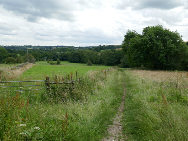
| A stream in Birkham Wood |
The woodland that we were walking through and the riverbank opposite didn’t have any obvious landmarks to navigate by and nobody had a GPS device, so it wasn’t easy to pinpoint the next place on our agenda. Eventually, we came to a small stream that was traced back to an outcrop of thinly bedded limestone, where a spring forms at the junction with the underlying Edlington Formation, but water certainly wasn't gushing from it.
 |
| The source of the spring noted in the LGA guide |
The LGA guide states that the spring emerges along the line of the Grimbald Crag Fault, which brings the Cadeby Formation alongside the Brotherton Formation. We didn’t stop to look around the area, but I held back from the group to obtain a sample with my Estwing hammer, which is pale grey/brown in colour and is unlike the limestones from the Cadeby Formation seen on the walk.
 |
| A specimen of rock from the Brotherton Formation at the spring |
When first very quick look at it with my hand lens when I collected it, I thought that it contained clear quartz grains but, closely examining it later, some surfaces have a finely botryoidal texture, some surfaces look porous and tufa like and, tested in several places, it scratches with a steel knife and reacts strongly with hydrochloric acid.
 |
| The old quarry at Calcutts cricket ground |
The last location was the old quarry at Calcutts cricket ground, to look at another exposure of the Sprotbrough Member of the Cadeby Formation, where I was more curious about the large cavities that have apparently been hollowed out of the abandoned quarry face, but nobody had any possible explanations for this.
 |
| The quarry face at Calcutts cricket ground |
The principal point of interest here is that the outcrop of the Cadeby Formation on the east side of the Nidd gorge is considerably thicker than in this quarry, which provides evidence that the ridge of limestone, upon which Knaresborough is set, is an original depositional feature and that the limestone thins away from it in all directions.
 |
| An outcrop of limestone on Bland's Hill |
Returning to Spitalcroft, where there are further exposures of yellow sandy limestone in some of the back gardens, we continued to Bland’s Hill and stopped at an exposure of limestone, which is not in the LGA guide or marked on old Ordnance Survey maps as a quarry. Its very pale, chalk like appearance is nothing like any exposure of the Cadeby Formation that I had seen before and I have wondered if it relates to the presence of petrifying springs, as occur a short distance to the west at Dropping Well.
 |
| Lenses of green clay in the Bland's Hill limestone outcrop |
The lower section is heavily weathered and broken down into a very fine powder and, in a few places, contains lenses of green clay that looks very similar in colour to that seen in the sandy variety of the Cadeby Formation found in Mansfield, Nottinghamshire, which is a feature of the White Mansfield stone and weathers to leave a texture that looks like old crinkled leather.
 |
| A sample of weathered limestone powder from Bland's Hill |
I obtained a specimen of rock and placed some of the powder into a sample bag for later examination, along with the very fine grained orange material that I had collected from Abbey Road. Both samples feel soapy and not gritty when rubbed between the fingers and react strongly with hydrochloric acid, with a close examination using a hand lens of the rock specimen revealing an extremely fine granular texture and voids.
 |
| A specimen of limestone from Bland's Hill |