 |
| The geology of the area around Laughton-en-le-Morthen |
The
geological map of the area around the ancient village of
Laughton-en-le-Morthen shows that it is set on a small outlier of the
Permian
Zechstein Group, comprising the poorly cemented Yellow Sands Formation
overlain
by dolomitic limestone of the Cadeby Formation.
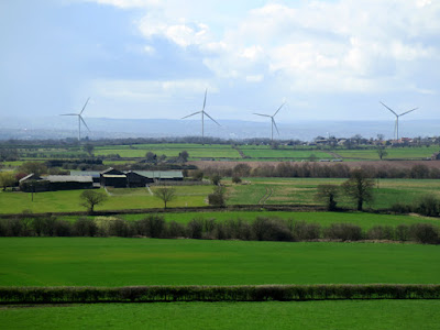
In the landscape, this outlier appears like a small limestone capped island with an apron of weathered sandstone, whose slopes blend in with the surrounding gentle scarp and dip topography that is typically formed in the rocks of the Pennine Upper Coal Measures Formation.
 |
| A view of the landscape seen from Laughton-en-le-Morthen |
When
surveying many geological sites in Rotherham for the South Yorkshire RIGS Group, Laughton-en-le-Morthen wasn't highlighted
for investigation, even though it possesses a Grade I Listed
mediaeval church and that old quarries are likely to be found nearby - as I discovered in the villages of Harthill and Whiston.
Having briefly explored the mediaeval churches of Beighton and Beauchief - as well as Sheffield Manor Lodge in Sheffield - I set off on a variety of buses to investigate Laughton-en-le-Morthen.
 |
| An 1855 ordnance Survey map showing various quarries |
Having briefly explored the mediaeval churches of Beighton and Beauchief - as well as Sheffield Manor Lodge in Sheffield - I set off on a variety of buses to investigate Laughton-en-le-Morthen.

No comments:
Post a Comment