 |
| The basic geology of the area around the City of Sheffield |
Looking at the City of Sheffield on the BGS Map Viewer at the 1:625,000 scale, it can be seen that it is located on a succession of an eastward dipping succession of Upper Carboniferous rocks - with Millstone Grit outcropping within the Peak District National Park to the west, Lower Coal Measures underlying its central areas and some Middle Coal Measures to the east.
 |
| Upper Carboniferous strata forming escarpments along the Don Valley |
Located on the edge of the Pennines, an upland area of England eroded away by ice and glacial meltwater during the Quaternary Period, Sheffield is set on seven hills - like Rome - with several steep sided river valleys exposing successions of sandstone, mudstone, seatearth and coal. All of these, along with ironstone, were once widely exploited by the local steel industry and as building materials, but all mining and quarrying activities have now ceased.
 |
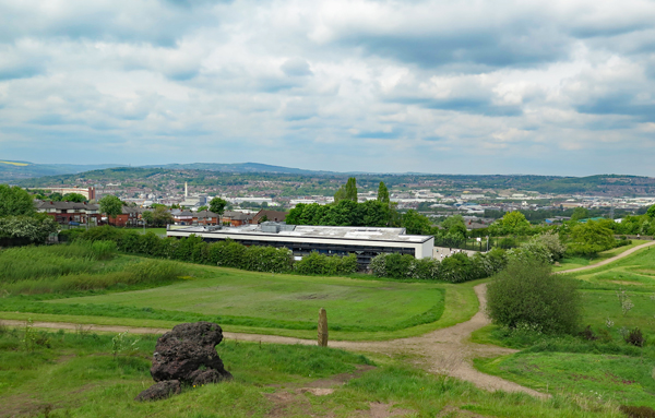
| A view of Sheffield city centre from Skye Edge |
Having had to put my planned investigation of the mediaeval churches in Rotherham on hold – whilst waiting to hear from various key holders - and having briefly explored the geology and historic buildings in Beighton and Beauchief, I took advantage of a bright and sunny day to take my first look at Sheffield Manor Lodge.
 |
| The geological map of the area around Sheffield Manor Lodge |
No comments:
Post a Comment