 |
| A village marker stone on Wheel Lane |
Just over a week after my recce in Nottingham, to look at its geology and historic architecture, I took advantage of a sunny Saturday to have a good walk in the northern part of Sheffield – starting at Grenoside and continuing to Ecclesfield via Whitley Hall.
 |
| The OS map of the area between Grensoside and Ecclesfield |
Alighting from the No. 86 bus from Sheffield at the Halifax Road/Salt Box Lane stop, I took a few quick snaps of the mile post, which was just the first of 10 listed buildings that I wanted to photograph for the British Listed Buildings website.
 |
| Listed Buildings around Whitley and Ecclesfield |
Starting my walk at the edge of the Grenoside Sandstone, which is used as a building stone throughout Grenoside, I set off down Wheel Lane across the Penistone Flags. This formation is described by the geological memoir as ‘a complex group of thin flaggy sandstones separated by shale containing thin seams of coal and fireclay, with sandstone beds that are variable both in thickness and texture and which occasionally split’ – a feature that can be clearly seen on the Sheet 87 geological map.
 |
| The geology around Whitley and Ecclesfield |
The extremely thin bedded nature of the Penistone Flags makes it generally unsuitable for building, but it is seen as dry stone walling in the areas where it outcrops and has been used for the field boundary wall to the north of Wheel Lane.
 |
| Penistone Flags sandstone used for dry stone walling on Wheel Lane |
The large carved stone block that marks the entrance to Grenoside, which appears to relate to a project with local schools, is a much more massive sandstone but, with the Grenoside quarries long since being closed, this will probably be from one of the current major stone producing areas such as West Yorkshire or Derbyshire.
 |
| The village marker stone on Wheel Lane |
Continuing down to the late C17 Grade II Listed No. 269 The Wheel, which is mainly rendered, I didn’t get near enough to look at the stone used for its front elevation, but it is quite likely that it came from a quarry in Grenoside.
 |
| No. 269 The Wheel |
Turning down Cinder Hill Lane, I stopped very briefly to photograph the Stone House (2010), a small garden building to the rear of the house at the junction with The Wheel. The sandstone used here has a very wild colour variation, which varies very abruptly from grey to orange in colour and is not one that I recognise.
 |
| The Stone House |
Continuing up Cinder Hill Lane, I took the public footpath at the back of the cricket ground and headed north towards the hamlet of Whitley, firstly passing through a traditional opening in the boundary wall and then crossing the fields.
 |
| An opening in a boundary wall for the public footpath |
Carrying on along this path, I stopped on a couple of occasions to look at the landscape towards the north-east, which is underlain by mainly siltstones and mudstones of the Pennine Lower Coal Measures Formation (PLCMF). There is a general dip of the strata in this direction, with the higher ground in the distance coinciding with the A629 road, which occupies a ridge of PLCMF sandstone in the vicinity of Thorpe Hesley.
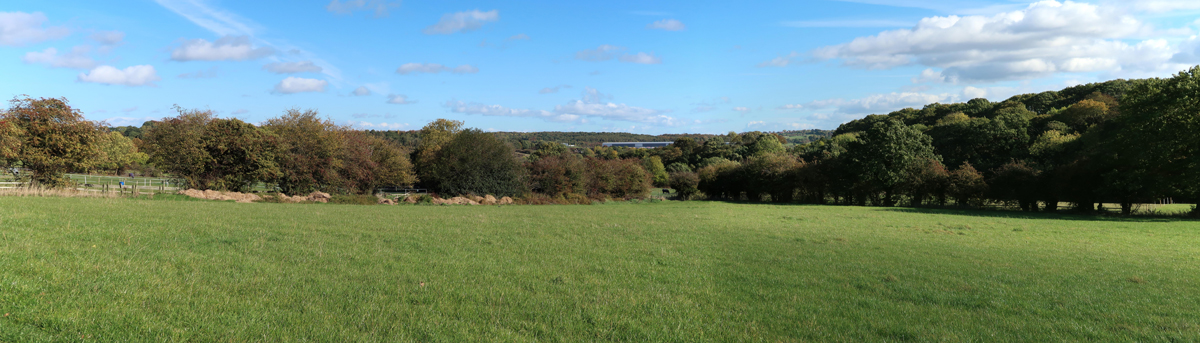 |
| A panoramic view to the north-east from the public footpath |
As I approached the edge of Whitley, where various equestrian businesses operate, I was able to get my bearings from Keppel’s Column on the edge of the Fitzwilliam Wentworth Estate, which is a very distinctive landmark that can be seen from miles around.
 |
| A view towards Keppel's Column and Kimberworth |
No comments:
Post a Comment