 |
| A view along Scotland Street to High Hill |
When planning my day out to Steetley and Whitwell in August 2023, whichever way I approached from Treeton, I realised that I couldn’t avoid at least 5 journeys using public transport, a walk of nearly 10 km and, if the buses weren't reliable, extended waiting times.

Much of the travel time between Treeton and Chesterfield, using the X54 and X17 buses on this familiar route, was occupied by reading a book but, once on the No. 77, I spent the next hour looking at the surrounding landscape - noting the scarp and vale topography formed by the Coal Measures strata, before ascending the Magnesian Limestone escarpment.
 |
| The geology on the route from Treeton to Whitwell |
On previous days out to Barlborough and to Staveley and Brimington, I caught this bus back to Chesterfield and, seeing this topography again when travelling in the opposite direction, I was equally impressed and once back on the Magnesian Limestone, the gentle rolling landscape on the approach to Whitwell was very familiar.

When undertaking a recce of Creswell Crags, for a Sheffield U3A Geology Group field trip the year before, on the way back to Sheffield we drove through what I now know to be Whitwell. I had never been here before, but I was immediately struck by the reddened limestone of the Cadeby Formation in the historic buildings and the variable topography of the village, which I again noticed as the bus descended from Bakestone Moor to Portland Street.
 |
| An overgrown rock face on Portland Street |
Alighting at the Square bus stop, I had a quick look at the red brick built old school (1897) and was interested to see a partially overgrown rock face in the garden of the house on the opposite side of the road. It is a massive buff coloured limestone from the upper Sprotbrough Member of the Cadeby Formation, but I couldn’t get close enough to take a good look.

The Whitwell Conservation Area Appraisal (CAA) mentions that there were several small quarries in the village, particularly around High Hill - which the Whitwell Local History Group website cites as the location of the quarry that supplied stone for St. Lawrence’s church – but old Ordnance Survey maps that I have seen do not show quarries here or on Portland Street.
 |
| A limestone outcrop in a retaining wall |
A little further up Portland Street, a retaining wall incorporates the underlying bedrock into its foundations in a couple of places. I didn’t cross the road to examine these closely, but from my photos I can see that massive, open textured pisolitic limestone overlies much finer grained beds.
 |
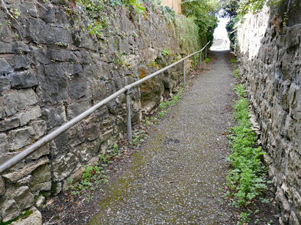
| Entering a snicket from Portland Street |
Noting various historic buildings on the opposite side of the road that are built in distinctly pink dolomitic limestone, I retraced my steps to a snicket – where again very coarse grained limestone underpins walls that are built with stone of the same colour and texture.
 |
| A snicket from Butt Hill to Portland Street |
Arriving at Butt Hill, I walked along the road for a short distance before encountering another snicket, which has more outcrops of limestone at the base of the boundary walls. As with the small outcrop in the retaining wall on Portland Street, it comprises massive, pisolitic limestone with an open texture, which is underlain by finer grained cross-bedded limestone.
 |
| Thinly bedded limestone overlain by massive limestone |
I didn’t have my Estwing hammer with me, but I was able to obtain a small sample of buff coloured dolomitic limestone, which is finely granular and has marked graded bedding where individual beds are highlighted by differential weathering.
 |
| Finely granular limestone with graded bedding |
Returning to The Square, I then headed up High Street, which the CAA describes as the oldest part of the village and contains secular buildings dating back to the C17. At No. 20, I stopped to photograph another outcrop of limestone that forms the foundation of its roadside wall, which has distinctly pink colouration.
 |
| A limestone outcrop at No. 20 High Street |
Continuing to St. Lawrence’s church, I was enlightened by the view down Scotland Street, where the dry valley between High Street and High Hills is very obvious and, using the zoom lens on my Panasonic Lumix TZ100 camera, I could make out rock faces in the back gardens.
 |
| A view of rock exposures in back gardens at High Hill |
Looking at the British Geological Survey map, a deposit of head marks the line of this valley, which was presumably formed at the same time as Hollinhill Grips and Markland Grips - part of a drainage system on the dip slope of the Magnesian Limestone that converges to form the single water course that flows through Creswell Crags.
 |
| The geology around Markland Grips |
After having a good look around the church and photographing various listed buildings in the vicinity, which I will describe later, I made my way back to The Square and headed up Hangar Hill, where I encountered another outcrop of dolomitic limestone that forms part of a retaining wall.
 |
| An outcrop of dolomitic limestone on Hangar Hill |
The sample I collected is composed of both fine and coarse grained beds, with an open texture and a considerable proportion of white and pink crystalline growths that I assumed were calcite; however, examining this more closely whilst writing this Language of Stone Blog post, I thought that it is unusually heavy and it is possible that this is due to the presence of barytes, which the geological memoir records as being found in the area.
 |
| A sample of dolomitic limestone from Hangar Hill |
No comments:
Post a Comment