 |
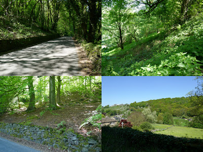
| A view across Mag Brook from Old Moll Road |
On the first leg of my day out to Honley, for my British Listed Buildings Photo Challenge, I had so far walked just over 3.25 km from the railway station to Clitheroe Farmhouse, but I had only photographed 7 buildings - of which No. 2 Grasscroft Road was the highlight, principally for its large 12-light stone mullioned windows on the first and second floors.
For the next leg of my walk, I continued westward up Scotgate Road to the junction with Hassocks Lane, just beyond which the 1897 Ordnance Survey map shows was the site of the quite substantial Scot Gate Head Quarry.
To the north side of Scotgate Road, where the Rough Rock forms an escarpment that drops down quite steeply to the valley below, I could just see vertical exposures of sandstone that may relate to quarrying but I didn’t investigate. Continuing down Scotgate Road, I looked for exposures on both side of the road, but all I could see was the woodland that covers the lower slopes.
The first building to photograph was the rendered Nos. 14 and 15 Wood Bottom Road, houses that have a C17 or early C18 origin with probably early C19 alterations. I just made a mental note of the stone slate roof and another example of multi-light mullioned windows, which are common in Honley, before carrying on with my walk.
My next stop was of the late C18 Magdale House on Old Moll Road, which was formerly two dwellings. It is set into the hillside beside the road and, to get the best appreciation of its setting, I had to photograph it from various angles.
Continuing down Lea Lane, the early to mid C19 Mill Building at Cocking Bridge Steps is built in hammer dressed stone, with a stone slate roof and a later C19 addition that has a Welsh slate roof. The Yorkshire Industrial Heritage website includes it in its list of Yorkshire textile mills but makes no mention of its use, although the Ordnance Survey map of 1897 describes it as ‘woollen’.
I went to have a quick look at Mag Brook and the bridge that crosses it an elevation of 113 metres, which is 50 metres lower than the starting point of this leg of my walk. Descending from the Rough Rock plateau, we crossed the boundary with the underlying mudstones and siltstones of the Rossendale Formation.
Looking at a topographic map of the area, Mag Brook occupies quite a sizeable valley, which would have required a much greater flow of water than seen now to create and, upstream of the bridge, I could just see that the topography to the west is much more imposing.
Retracing my steps up Lea Lane, I got another view of the Grade II Listed houses that I had seen earlier on Wood Bottom Road, which show them to be very substantial in nature and again take advantage of the steep slope in their design and provide another example of multi- light windows.
After taking a couple of photos of the valley to the east, which is much shallower than that seen to the west, I headed off along Old Moll Road to the next building on my list to photograph – the Grade II Listed No. 5, described by Historic England as “Formerly 2 handed dwellings now one dwelling. Early C19. Hammer dressed stone. Stone slate roof “.
Continuing east, I then went in search of Honley Quarry, but firstly encountered the old Moll Spring Dye Works, which is marked on the 1897 Ordnance Survey map. It is not a listed building and seems to be unoccupied, but nevertheless forms an interesting part of Honley’s industrial heritage.
Continuing along the public footpath for a short distance, I soon found the way up to Honley Quarry, which is marked on Google Map as one of the locations on the Kirklees Climbing website. Having researched this further, I knew that I could easily get access to it and so I brought my Estwing hammer with me.


No comments:
Post a Comment